

OUR SERVICES
Agriculture
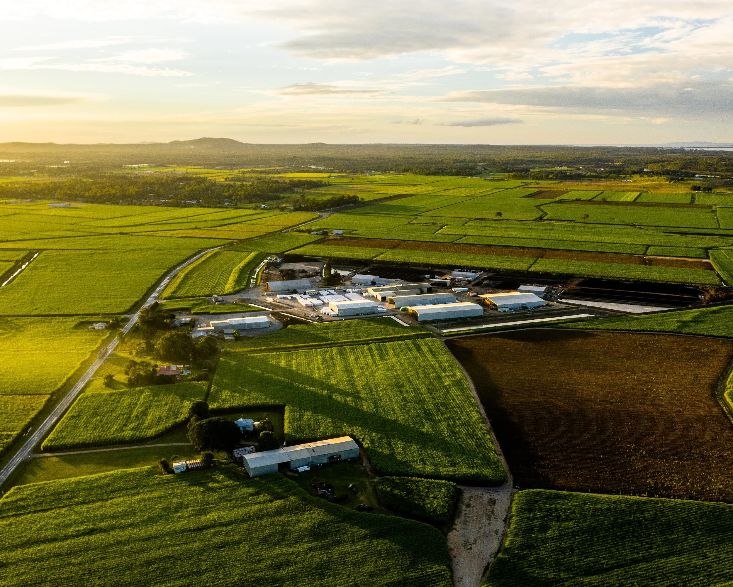
The utilization of drone technologies is increasingly prevalent in agricultural applications. Advanced sensors like multispectral, hyperspectral, and LiDAR provide comprehensive analyses of crop health and nutritional levels. Precise vegetation indices offer data that accurately measures chlorophyll content in leaves, taking into account soil background effects and areas with complete leaf coverage. Histograms generated through various Pix4D programs depict the dynamic range of data values, providing insights into the field's condition. Vegetation indices such as NDVI, NDRE, and LCI enable the formulation of solutions to optimize plant/crop health. By enhancing survey capabilities in agriculture and forestry, farmers can maximize crop quality and yields. Identifying areas with nutrient deficiencies and soil fertilization needs leads to improved crop growth in the early stages. pH analysis can monitor soil alkalinity and acidity levels. Additionally, agricultural surveys conducted with drones enable precise crop identification and detection of invasive plant species. Identifying these invasive species prior to the harvesting season is crucial, as they can significantly harm crop health.

3D Modelling
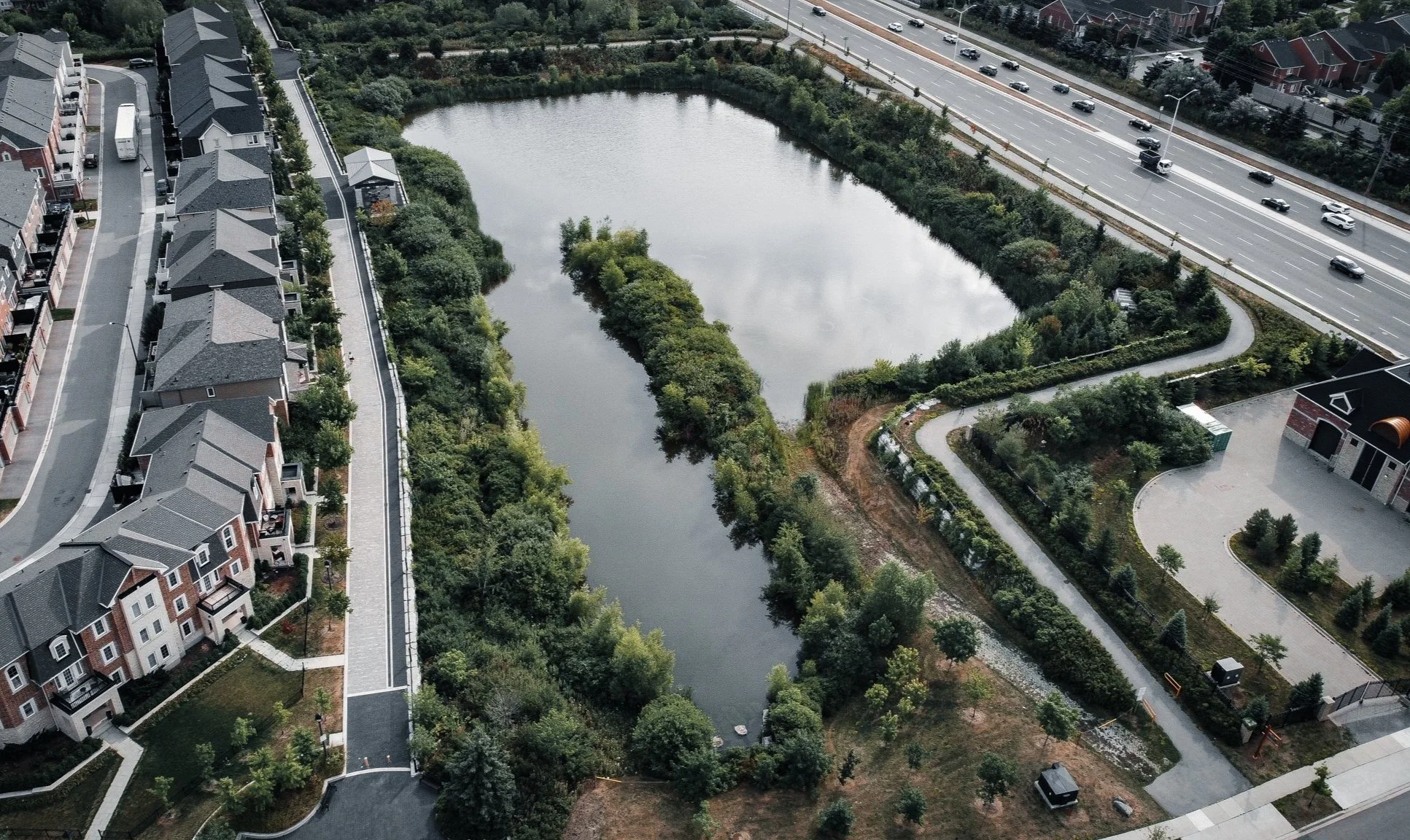
3D modeling offers the most precise and efficient approach to remote sensing. Using LiDAR (Light Detection and Ranging) technology, it enables the creation of 3D models for buildings and various geometric areas. By collecting data, a point cloud is generated, allowing the creation of a virtual 3D space. LiDAR technology is versatile, capable of generating 3D models for terrains, forestry, bridges, power lines, and numerous other applications. These 3D models provide a visual representation of areas of interest. Drones play a crucial role in conducting surveys over large terrains and capturing topographical data smoothly and swiftly. Moreover, LiDAR technology holds significant value for geographical experts. The applications of 3D modeling are extensive, ranging from corridor mapping, mining, quarry management, civil engineering, archaeology, to environmental monitoring. For instance, it proves beneficial in examining sedimentation in river deltas or monitoring coastal erosion, enabling anticipation and mitigation of future consequences at early stages. 3D modeling provides a comprehensive and accurate image of analyzed buildings and lands, allowing for the detection of hidden aspects invisible to the naked eye. In the case of buildings and bridges, it facilitates the swift identification of infrastructural issues such as cracks and deformities. Prompt actions can then be taken to address potential hazards before they occur.

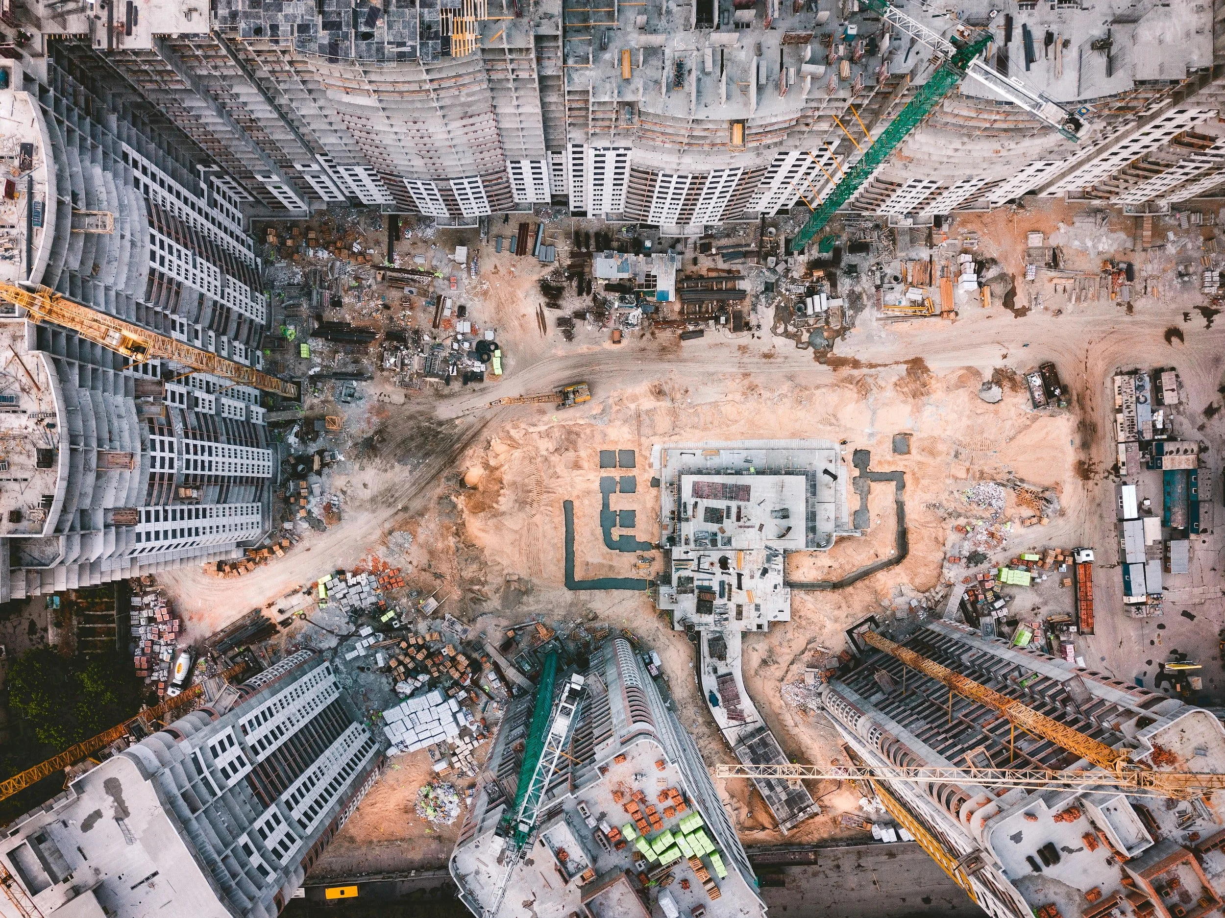
Construction project management involves multiple components that need to work together harmoniously for successful completion while minimizing costs. These components include general contractors, engineering companies, earth movers, and various subcontractors. Failure to meet construction deadlines can result in additional costs that can have a detrimental impact on project success and profits. To facilitate decision-making and stakeholder alignment, up-to-date records are essential. Aerial and in-person surveys provide such records, and LiDAR surveys, in particular, enable the creation of digital twins for Building Information Modeling (BIM) applications. LiDAR technology offers highly accurate measurements for 3D models, allowing architects and structural engineers to monitor structures and make necessary adjustments. The remarkable advantage of LiDAR lies in its ability to swiftly gather information and create highly accurate representations, surpassing traditional methods. Moreover, LiDAR can also be used for land surveys, enabling a comprehensive understanding of the construction site prior to the development process.
In addition to construction projects, building inspections play a crucial role in maintaining the integrity of various structures such as roads, buildings, and bridges. By conducting structural inspections, the inherent risks associated with these structures can be identified and mitigated. Aerial surveys, in particular, enable the creation of complex models even for structures with intricate geometric shapes, despite their significant heights.